
Day fifteen of our Norway tour started with a drive down the Trollstigen (Troll’s ladder) which is a series of eleven hairpins going down a 1:12 single track gradient. It took eight years to build using only hand tools and was opened in 1936. Tour buses regularly do this route and do not hang about, I am pleased we didn’t meet one when we were coming down.
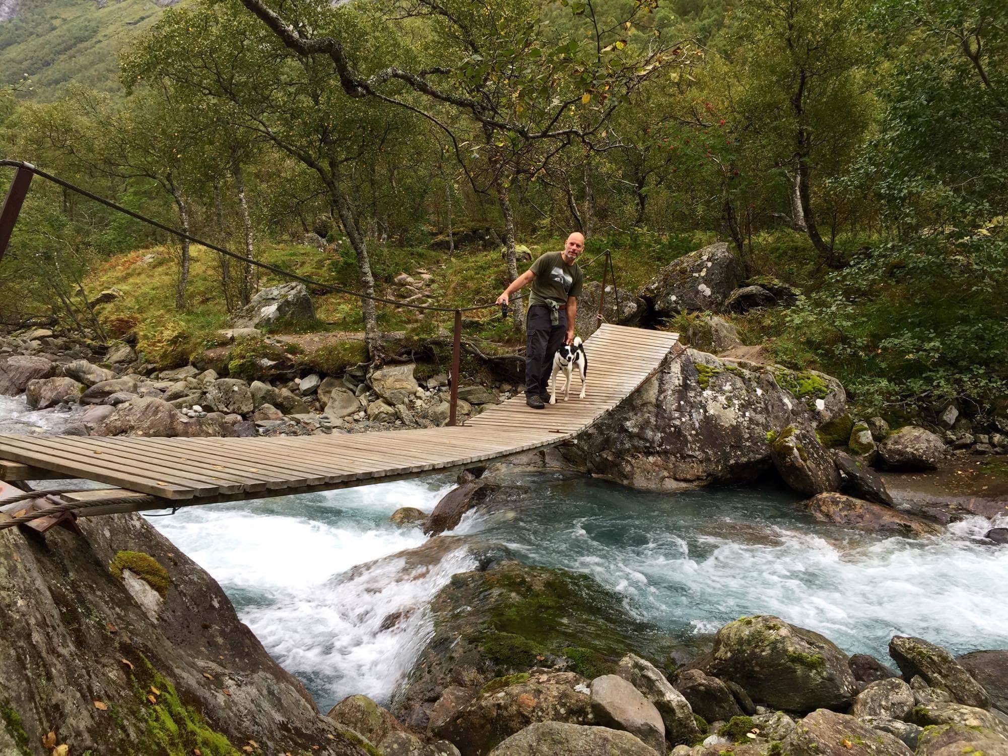
When we got to the bottom we pulled into a picnic area to do a walk along the river at the bottom of the valley and then up to one of the waterfalls. We were joined for about ten minutes by a couple of tour buses as they pulled in for a photo stop. Finn and I didn’t quite make it all the way to the waterfall as it involved using a chain to climb up wet rocks. We did manage to navigate some of the intersting bridges, although we did always send Andy across first to test them out.
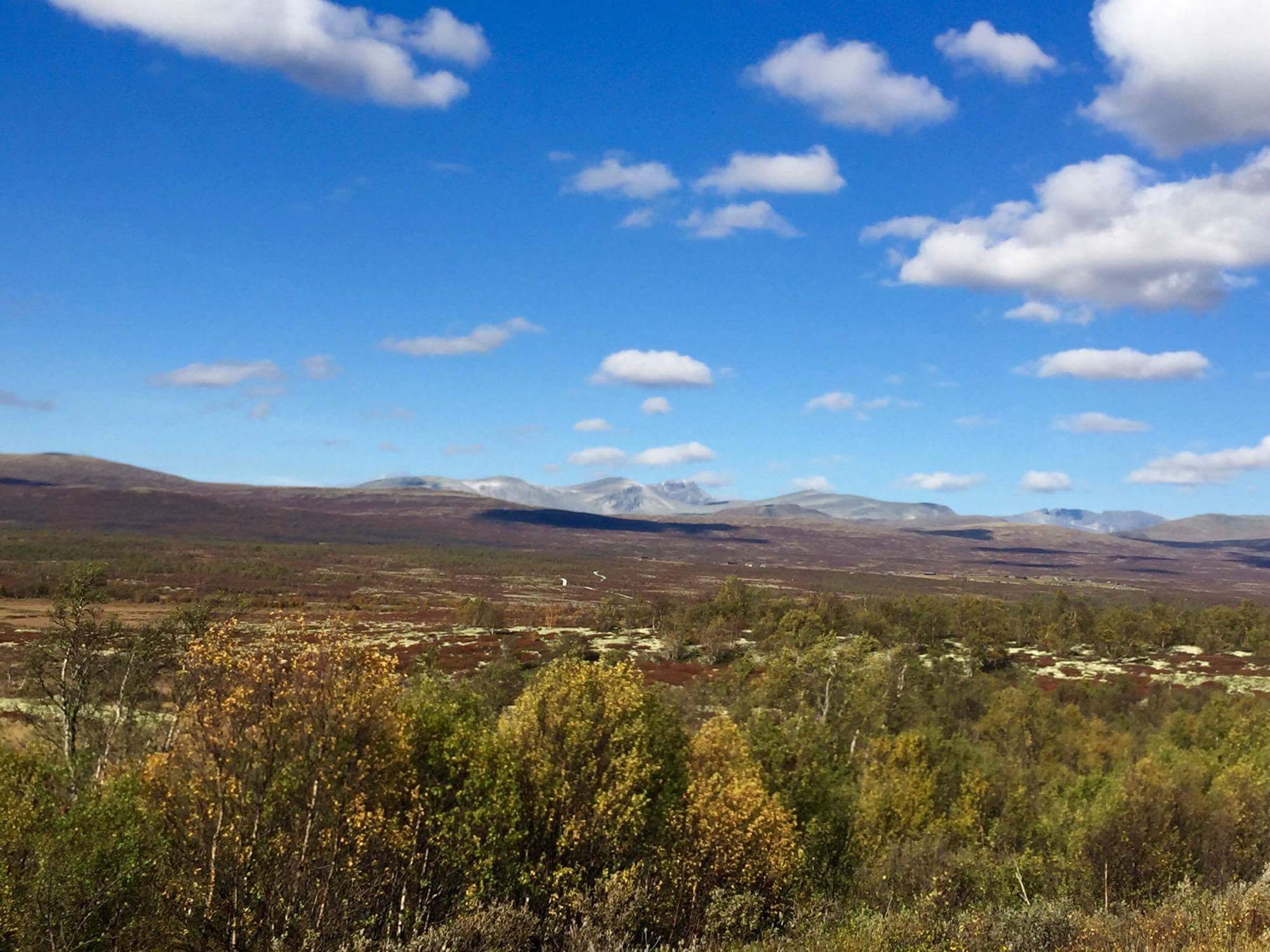
We are now leaving the western fjords area and moving on up through the country towards Trondheim, which is in the Trondelag region. The drive was quite dramatic as we drove past Trollveggen (Troll Wall) which is the highest vertical mountain wall in Europe at 1800m from the valley floor. The landscape then started to changed and the valleys got bigger and it became less mountainous.
Today we are on the hunt for gas. We are getting through it quicker than we anticipated. It was to be expected really as we are free camping most of the time and cooking every night. We also are usually cooking two different meals as I am veggie and Andy definitely isn’t. We thought we would have to buy a Norwegian bottle and adaptor but we luckily found a place in the middle of an industrial estate in the ski resort of Oppdal that would refill ours. We were recommended to go there by the local garage. They adapted a connector to fit our bottles and filled them up for us. He said they were the only place in Norway that do this. Not sure if this is true but it helped us out enormously. The place we got the gas was called A K Rostad and the coordinates were N62.586837 E9.690281. I think an LPG tank is the way to go on our next camper.
We then continued up the very long E6 heading north. We continued driving until quite late and pulled into a picnic spot just off the E6 for the night.
The discussion for tonight as we head into Nordland is how much of the Krystriksveien Coastal Route do we do and how much on the faster (in relative terms, nothing is fast in Norway) Inland Arctic Highway. Either way at Latitude N 66 33 we will cross the Arctic Circle.
Overnight – Kvithammer Picnic Area N 63.490527 E 10.882107
Miles Walked – 4
Miles Driven – 225
Weather – cloudy with sunny spell, no rain

Leave a Reply